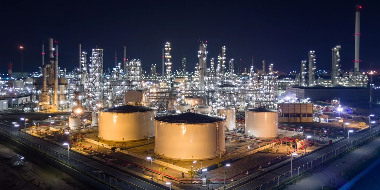
Drone Services for the Oil & Gas Industry
Faster Inspections. Safer Operations. Better Data.
SkyHarvest Drones provides advanced aerial inspection and mapping services tailored to the operational demands of oil and gas infrastructure. From pipelines and flare stacks to tanks and processing facilities, our FAA-certified drone crews deliver high-resolution, real-time data that minimizes risk, reduces downtime, and supports regulatory compliance.
With thermal, LiDAR, visual, and gas detection sensors on board, we help you detect problems before they become costly failures—without the need for shutdowns or risky manual inspections.
Ready for Takeoff?
Contact us today to start mission planning with our team. We offer competitive pricing and customizable packages to fit your specific needs.
Drone Services
Pipeline Inspections
Flare Stack Monitoring
Flare Stack Monitoring

Thermal, LiDAR & Visual Imaging for Safer, Smarter Line Monitoring
Our drones inspect above-ground and difficult-to-access pipeline corridors using:
- Thermal sensors to detect hot spots, leaks, or flow anomalies
- LiDAR to map terrain, identify sag or subsidence, and track right-of-way encroachment
- High-resolution cameras to capture corrosion, weld defects, and structural damage
We help reduce inspection time, improve accuracy, and limit crew exposure across long-distance assets.
Flare Stack Monitoring
Flare Stack Monitoring
Flare Stack Monitoring

Real-Time Aerial Imaging Without Shutdowns
Monitor active flare stacks from a safe distance using stabilized zoom and thermal payloads. Our inspections help you:
- Evaluate flame shape and combustion consistency
- Identify structural issues or deterioration
- Maintain environmental and safety compliance
Avoid costly scaffolding, cranes, or downtime with non-intrusive drone inspections.
Storage Tank Inspections
Storage Tank Inspections
Storage Tank Inspections

External & Internal Views—No Man-Entry Required
Using visual, zoom, and oblique-angle imaging, we
inspect:
- External tanks for corrosion, paint degradation, roof deformation, and seam integrity
- Internal tanks (when safely accessible) using confined-space capable drones for sediment buildup or structural assessment
We support pre-maintenance planning, integrity documentation, and compliance with API 653 and similar standards.
Facility Mapping
Storage Tank Inspections
Storage Tank Inspections

Up-to-Date Site Maps, 3D Models, and Digital Twins
We create high-resolution orthomosaics and 3D reconstructions of refineries, well pads, compressor stations, and other facilities using:
- Photogrammetry
- LiDAR point clouds
- RTK/PPK positioning
Our aerial mapping supports planning, emergency response, construction oversight, and digital asset management.
Minimize risk. Maximize uptime. Modernize your inspections. Partner with SkyHarvest for trusted aerial solutions in oil & gas.
SkyHarvest Drones

