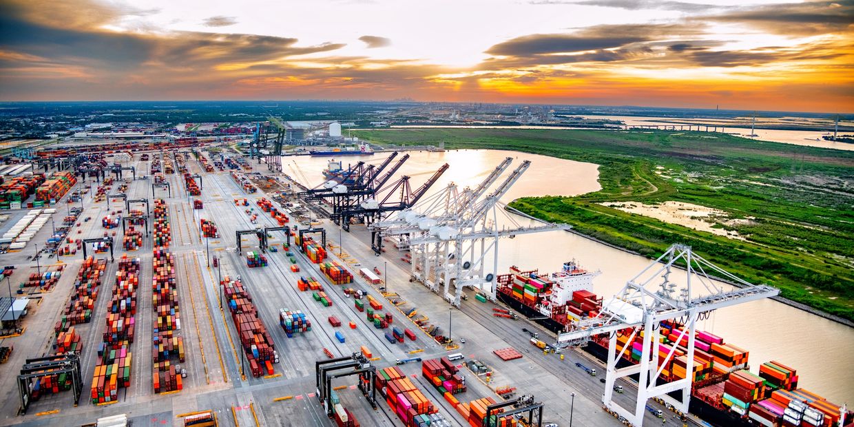
Aerial Drone Solutions for the Maritime Industry
Safe, Efficient, and Accurate Inspections for Vessels, Ports & Marine Operations
SkyHarvest Drones delivers high-resolution aerial inspections and data collection services tailored to the demanding environments of the maritime industry. From ship hull assessments to oil spill documentation and cargo yard inventory, our drone workflows eliminate manual risk, speed up reporting, and provide a new level of clarity for port and vessel operations.
With FAA-certified pilots, enterprise-grade drones, and advanced imaging capabilities, we help maritime operators reduce costs, improve safety, and stay in compliance with environmental and regulatory standards.
Ready for Takeoff?
Contact us today to start mission planning with our team. We offer competitive pricing and customizable packages to fit your specific needs.
Drone Services
Ship Hull Inspections
Oil Spill Detection & Documentation
Oil Spill Detection & Documentation

High-Resolution Imaging for Hard-to-Reach Areas
Our drones provide close-range visual and thermal inspections of vessel hulls, rudders, and superstructures—especially in areas that are unsafe or expensive to access by scaffold, diver, or rope crew.
- Detect rust, corrosion, paint degradation, and surface anomalies
- Inspect above-waterline sections and hard-to-reach stern/bow zones
- Perform pre-dry dock evaluations or ongoing maintenance documentation
Reduce inspection time and avoid vessel delays while improving documentation and compliance.
Oil Spill Detection & Documentation
Oil Spill Detection & Documentation
Oil Spill Detection & Documentation

Real-Time Aerial Visibility for Environmental Response
When marine spills occur, rapid documentation is critical. Our drones provide wide-area visual and thermal imaging to help:
- Detect oil slicks and surface anomalies in harbors or open water
- Track spread direction and containment zones
- Support reporting for regulatory compliance and environmental claims
We deliver timestamped imagery, orthomosaics, and video for internal teams or environmental agencies—often within hours.
Cargo Yard Inventory & Oversight
Oil Spill Detection & Documentation
Cargo Yard Inventory & Oversight

Stay Organized from Above with Drone-Based Asset Monitoring
Manage busy port logistics with real-time aerial views of container yards, staging areas, and equipment zones.
- Track container placement and stacking efficiency
- Identify storage issues, damaged goods, or access blockages
- Streamline inventory audits and improve operational visibility
Our data supports port logistics, asset tracking, and insurance documentation—without interrupting yard operations.
Let us help you modernize marine inspections and maritime oversight—safely, quickly, and cost-effectively. SkyHarvest delivers trusted aerial data for vessels, ports, and coastal infrastructure.
SkyHarvest Drones

