Drone Solutions for Energy & Utilities
Safer, Faster, and Smarter Inspections of Critical Infrastructure
SkyHarvest Drones helps energy providers, utility companies, and solar operators modernize their inspection workflows with high-resolution aerial data. From power lines to solar arrays, we deliver the actionable insights you need to prevent outages, reduce risk, and optimize performance—without disrupting service or endangering crews.
Our FAA-certified drone pilots use thermal sensors, zoom optics, and AI-enhanced imaging to capture the hard-to-reach details that traditional inspections often miss.
Ready for Takeoff?
Contact us today to start mission planning with our team. We offer competitive pricing and customizable packages to fit your specific needs.
Drone Services
Power Line Inspections
Thermal Imaging for Components
Thermal Imaging for Components

High-Resolution Visual & Infrared Imaging
Our drones provide close-range inspections of transmission and distribution lines using zoom and infrared (IR) cameras to detect:
- Damaged or corroded components
- Arcing or overheating connectors
- Line sag, fraying, and insulator cracks
By capturing data from above, we reduce the need for bucket trucks, helicopters, or manual climbing—saving time, reducing cost, and improving worker safety.
Thermal Imaging for Components
Thermal Imaging for Components
Thermal Imaging for Components

We identify hot spots before they become failures.
- Transformers
- Connectors and fuses
- Switchgear and breakers
Pinpointing overheating components early helps reduce downtime, extend equipment life, and prevent costly outages.
Substation & Tower Inspections
Thermal Imaging for Components
Vegetation Encroachment Surveys

Aerial Access. Ground-Level Safety.
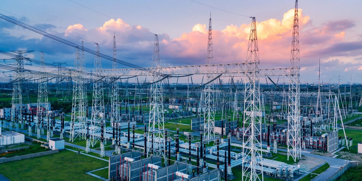
We conduct non-invasive aerial inspections of substations and utility towers to identify:
- Corrosion, rust, or physical damage
- Loose fittings and structural degradation
- Vegetation encroachment or wildlife interference
We deliver high-resolution imagery and reports for maintenance planning, NERC/FERC compliance, and insurance documentation.
Vegetation Encroachment Surveys
Vegetation Encroachment Surveys
Vegetation Encroachment Surveys

Ensure compliance and reduce fire risk with aerial vegetation surveys.
Our drone flights quickly identify:
- Overgrown trees near transmission corridors
- Vegetation threatening right-of-way access
- Brush accumulation around substations
Our data helps prioritize trimming, reduce outages, and improve regulatory compliance.
Solar Panel Fault Detection
Vegetation Encroachment Surveys
Solar Panel Fault Detection

Thermal Mapping for Performance & Warranty Protection
Thermal drone inspections quickly identify:
- Panel hot spots
- Cell/module failures
- String-level performance drops
Catch inefficiencies early, reduce downtime, and maintain warranty compliance with regular drone-based solar inspections.
Storm Damage Assessment
Vegetation Encroachment Surveys
Solar Panel Fault Detection

After hurricanes, windstorms, or ice events, our drones provide immediate aerial visibility for:
- Downed lines and broken poles
- Impacted transformers or substations
- Vegetation damage and blocked access routes
We support utility crews, restoration planning, and emergency response with rapid data delivery—often within hours.
Empower your utility operations with the speed, safety, and precision of aerial data. Let SkyHarvest help you reduce risk, cut costs, and maintain peak performance.
SkyHarvest Drones

