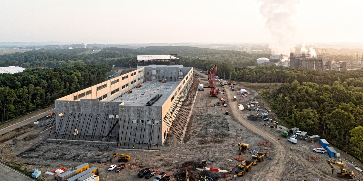
Drone Services for the Construction Industry
Smarter Site Planning. Safer Builds. Faster Closeouts.
SkyHarvest Drones supports design-build teams, contractors, and developers through every phase of the construction lifecycle—from preconstruction planning to final closeout. Our drone data improves accuracy, reduces rework, enhances collaboration, and supports real-time decision-making across your entire project.
Using photogrammetry, LiDAR, and high-resolution RGB imaging, we deliver site intelligence at every step—without disrupting crews or schedules.
Ready for Takeoff?
Contact us today to start mission planning with our team. We offer competitive pricing and customizable packages to fit your specific needs.
Drone Services
Pre-construction Phase
Pre-construction Phase
Pre-construction Phase

Plan with Precision Before Breaking Ground
Our drones capture current site conditions in high resolution to support land surveys, feasibility studies, and stakeholder planning.
- Surface & Terrain Models – Generate topographic models for grading and site prep
- 2D & 3D Mapping – Create orthomosaics and digital twins of existing structures or terrain
- Annotations & Measurements – Mark boundaries, features, and infrastructure visually
Get everyone aligned with accurate visuals and geo-referenced data from day one.
Substructure Phase
Pre-construction Phase
Pre-construction Phase

Track Grading, Excavation & Foundation Work
Monitor foundational work with weekly drone flights and volumetric analysis tools to ensure scope and budget alignment.
- Cut & Fill Analysis – Measure earth moved vs. designed plans for excavation or backfill
- Volumetrics – Calculate stockpile volumes, trench capacity, and material needs
- As-Built 3D Models – Compare progress against civil plans or BIM models
Our data helps avoid costly rework and provides defensible documentation for stakeholders and inspectors.
Structure Phase
Pre-construction Phase
Structure Phase

Validate Progress with Aerial Views & Models
Track vertical construction progress with aerial updates that offer unmatched perspective and site-wide visibility.
- 2D & 3D Construction Modeling – Create models for coordination with architects, engineers, and subs
- Annotations & Issue Tracking – Flag discrepancies or missing components visually
- Schedule Verification – Document site changes over time to verify contractor milestones
Make more informed decisions with up-to-date visuals and model comparisons.
Exterior Phase
Interior Phase
Structure Phase

Monitor Envelope & Site-work with Precision
Ensure consistency in façade, roofing, and site development with drone-based monitoring and visual QA.
- Surface Modeling & Imagery – Document finishes, waterproofing, and elevation work
- Access Documentation – Capture progress around scaffolding, staging areas, and hard-to-reach zones
- Environmental Conditions – Track erosion control, drainage, and site safety during final grading
Our services provide defensible records for change orders and quality assurance.
Interior Phase
Interior Phase
Interior Phase

Ground-Based Imaging for Fit-Out and MEP Tracking
In addition to aerial data, we provide ground capture of interior spaces using handheld and tripod-mounted systems.
- Interior Progress Photos – Room-by-room documentation of framing, drywall, finishes
- Mechanical, Electrical & Plumbing (MEP) – Document system routing before concealment
- 360° Walkthroughs – Provide virtual site visits for remote stakeholders
Perfect for coordination with GC teams, architects, and owners during punch list phases.
Closeout Phase
Interior Phase
Interior Phase

Complete the Project with Clear Documentation
Finalize the project with high-quality deliverables that aid turnover, maintenance, and warranty tracking.
- As-Built Orthomosaics & Models – Capture site conditions at project completion
- Annotated Punch Lists – Visually document deficiencies and resolutions
- Client Handover Packages – Provide visual records to support FM and asset management
Ensure smooth transitions from construction to occupancy and long-term operations.
From first stakeout to final signoff, SkyHarvest helps you build smarter, faster, and with greater confidence. Get better visibility across your construction lifecycle—with trusted aerial data at every phase.
SkyHarvest Drones

