Drone Services for Insurance & Risk Assessment
Faster Claims. Better Evidence. Reduced Liability.
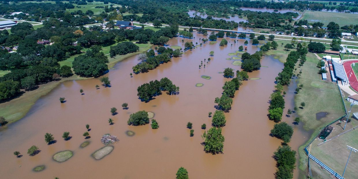
SkyHarvest Drones provides high-resolution aerial inspections and documentation services that support the full insurance lifecycle—from pre-loss underwriting to post-disaster claims and litigation. Our drones help insurers, adjusters, and legal teams assess risk, document damage, and resolve disputes with clear, defensible data—captured safely and efficiently from the sky.
Our FAA-certified pilots use RGB, thermal, and 3D imaging tools to deliver consistent, time-stamped visuals that eliminate ambiguity and accelerate decision-making.
Ready for Takeoff?
Contact us today to start mission planning with our team. We offer competitive pricing and customizable packages to fit your specific needs.
Drone Services
Roof Damage Documentation
Litigation Support & Claims Evidence
Roof Damage Documentation

Get Close Without Climbing
Our drones provide detailed images and measurements of damaged roofing systems without sending adjusters up ladders.
- Identify missing shingles, punctures, and structural damage
- Capture thermal data to detect moisture or heat loss
- Generate reports with visuals ready for claim files or repair estimates
Save time, improve safety, and ensure consistent
documentation across all claims.
Underwriting Inspections
Litigation Support & Claims Evidence
Roof Damage Documentation

Assess Risk from Above—Before a Policy is Issued
We provide drone-based visual documentation for commercial and residential properties during pre-coverage inspections, helping underwriters evaluate:
- Roof condition and structural integrity
- Property access, layout, and outbuildings
- Risk factors like overgrown vegetation or drainage issues
This data helps reduce exposure, support accurate premium pricing, and meet carrier guidelines.
Litigation Support & Claims Evidence
Litigation Support & Claims Evidence
Litigation Support & Claims Evidence

Defensible, Time-Stamped Visuals That Hold Up in Court
When disputes arise, our drone imagery serves as reliable visual evidence for insurance adjusters, attorneys, and expert witnesses.
- Document property conditions before and after loss
- Provide visual context for denied or disputed claims
- Support subrogation, liability analysis, or fraud prevention
All deliverables are securely stored, geo-tagged, and formatted for legal and claims systems.
Whether you’re responding to a hurricane or preparing a commercial policy, SkyHarvest delivers the aerial data your team needs to act fast and document accurately.
SkyHarvest Drones

