Drone-Based Environmental Monitoring
Non-Invasive Aerial Data for Land, Water, and Wildlife Management
SkyHarvest Drones supports environmental professionals, conservationists, and civil engineers with high-resolution aerial data that is fast, accurate, and low-impact. Our drone services offer a cost-effective way to monitor sensitive ecosystems, assess change over time, and meet compliance reporting standards—without disturbing the land or wildlife.
We combine RGB, thermal, LiDAR, and multispectral imaging technologies to deliver actionable insights from the air, even in remote or difficult terrain.
Ready for Takeoff?
Contact us today to start mission planning with our team. We offer competitive pricing and customizable packages to fit your specific needs.
Drone Services
Wetland & Wildlife Monitoring
Wetland & Wildlife Monitoring
Wetland & Wildlife Monitoring

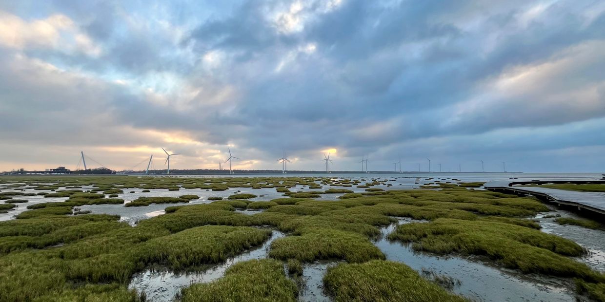
Track Habitat Health Without Ground Disturbance
Our drones provide aerial visibility of protected ecosystems, wildlife habitats, and vegetation conditions—ideal for:
- Monitoring species presence, movement patterns, or nesting areas
- Assessing vegetation coverage and invasive species spread
- Supporting environmental impact studies and conservation planning
Capture consistent imagery across seasons to support long-term habitat health analysis and ecological restoration efforts.
Flood Zone Mapping
Wetland & Wildlife Monitoring
Wetland & Wildlife Monitoring

High-Resolution Topography to Predict and Plan
We use photogrammetry and LiDAR to create detailed elevation models of flood-prone areas. Our aerial data helps:
- Model flood behavior and drainage paths
- Support FEMA floodplain management and insurance risk mapping
- Inform urban planning and civil engineering designs
Our high-accuracy terrain data improves response planning, risk analysis, and post-event recovery assessments.
Erosion Tracking
Wetland & Wildlife Monitoring
Erosion Tracking

Measure Environmental Change Over Time
Track shoreline retreat, slope instability, or land degradation with repeated aerial imaging and digital elevation models (DEMs).
- Monitor construction site runoff, riverbank changes, or coastal erosion
- Support compliance with environmental regulations and permitting
- Compare before-and-after conditions using georeferenced orthomosaics
Our time-stamped data enables evidence-based planning, mitigation, and environmental reporting.
Whether you’re monitoring wetlands, modeling flood risk, or assessing erosion over time, SkyHarvest delivers the accurate, aerial data you need—without setting foot on sensitive terrain.
SkyHarvest Drones

